Forecaster looks back at Aylesbury Vale's varied weather throughout January
and live on Freeview channel 276
As we are into the final meteorological month of the winter season, it’s time to look back at how the weather shaped up across the Aylesbury Vale during January.
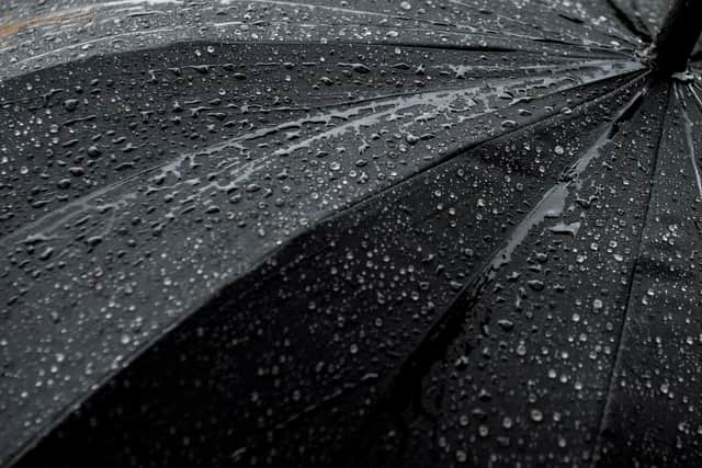
The month started very unsettled as areas of low pressure crossed the UK. Over 60% of the entire month’s rain fell in the first 4 days of January, with 20mm of rain falling on the 4th. Storm Henk brought a short period of strong winds through Aylesbury on the afternoon of 2nd, with 50-60mph gusts bringing down a few trees and causing some minor damage. It was very mild too with temperatures up to 12C on the 2nd.
Advertisement
Advertisement
It steadily became colder through the next week as high pressure developed and winds became north-easterly. Daytime temperatures peaked at around 3C and there was night-time frost. There was a lot of dry weather but we did see the only fall of snow during the month, a slight dusting on the evening of the 8th . If you blinked, you missed it!

It became colder still into the third week as winds switched northerly in direction, and the morning of the 18th saw temperatures down to -8 or -9C in the Vale, the coldest night of the winter so far.
The final 10 days of January saw a complete change with areas of low pressure pulling winds in from a warmer Atlantic direction. Storm Isha brought some more very windy weather through the Vale on the 21st /22nd with gusts in excess of 50mph. A further 30mm of rain fell during this stormy period.
Overall, rainfall for January was around 70-80mm, which is a little above the seasonal norm. Due to a combination of mild and cold periods, temperatures ended up pretty close to where they should be.
Advertisement
Advertisement
Nationally, the Met Office has put out a yellow weather warning for snow. This is expected to mainly affect northerly cities, towns, and villages in England. However on Thursday (8 February) the snow warning put out by the forecasting agency covers as far south as Birmingham and its surrounding areas.